Home » Free Printables » Printable Maps
Printable Maps - World, USA, State, County Outline, City
Download and print as many maps as you need. Share them with students and fellow teachers.
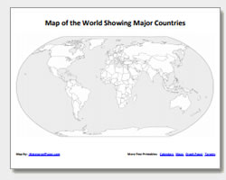
Map of the World
United States
Alabama
Alaska
Arizona
Arkansas
California
Colorado
Connecticut
Delaware
Florida
Georgia
Hawaii
Idaho
Illinois
Indiana
Iowa
Kansas
Kentucky
Louisiana
Maine
Maryland
Massachusetts
Michigan
Minnesota
Mississippi
Missouri
Montana
Nebraska
Nevada
New Hampshire
New Jersey
New Mexico
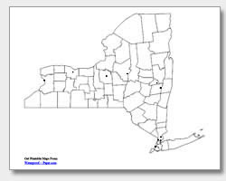
New York
North Carolina
North Dakota
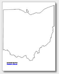
Ohio
Oklahoma
Oregon
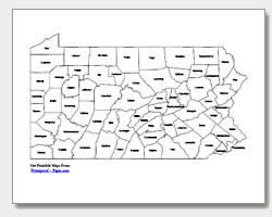
Pennsylvania
Rhode Island
South Carolina
South Dakota
Tennessee
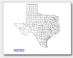
Texas
Utah
Vermont
Virginia
Washington
West Virginia
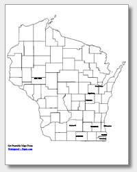
Wisconsin
Wyoming
Now you can print United States county maps, major city maps and state outline maps for free. These maps are great for teaching, research, reference, study and other uses. Just download the .pdf map files and print as many maps as you need for personal or educational use. All of our maps are designed to print on a standard sheet of 8 1/2" x 11" paper. We provide them as convenient .pdf files that are quickly downloaded and print reliably on almost any printer. Teachers should feel free to link to this website to give students easy access to the maps from home or at school. Also check out our free printable graph paper, printable targets, and printable calendars.


