

Home » Free Printables » Printable Maps » Rhode Island
Printable Rhode Island Map Collection
County Map - City Map - State Outline Map
Rhode Island County Map with County Names

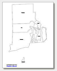
Map of Rhode Island Cities with City Names
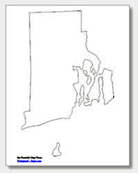
Rhode Island State Outline Map
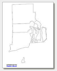
Blank Rhode Island County Map
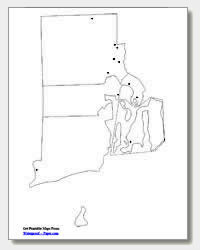
Blank Rhode Island City Map
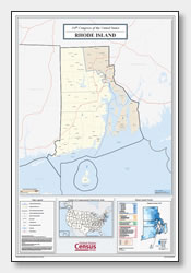
Rhode Island Congressional District Map
(114th Congress)
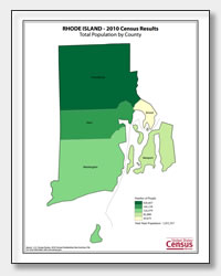
Rhode Island County Population Map
(2010 Census)
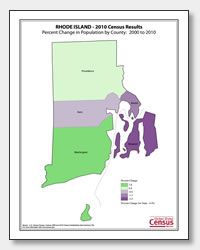
Rhode Island County Population Change Map
(2000 to 2010 Census)
ADVERTISEMENT
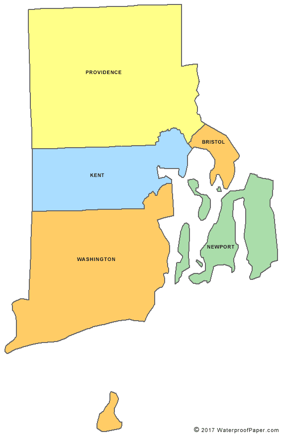
Click the map or the button above to print a colorful copy of our Rhode Island County Map. Use it as a teaching/learning tool, as a desk reference, or an item on your bulletin board.
We offer five free printable Rhode Island maps for downloading and printing. These .pdf files will print easily on almost any printer. The Rhode Island maps include: an outline map of the state, two major city maps (one with the city names listed and the other without), and two Rhode Island county maps (one listing the county names and the other blank). The cities listed on the major cities map are Newport, Warwick, Bristol, Barrington, Cranston, East Providence, Pawtucket, Central Falls, Woonsocket and the capital city, Providence. You will find these convenient maps helpful at home, work or in the classroom.