Home » Free Printables » Printable Maps » United States of America
Printable United States Map Collection
Outline Maps. With or Without Capitals. Labeled and Unlabeled Maps
ADVERTISEMENT

Click the map or the button above to print a colorful copy of our United States Map. Use it as a teaching/learning tool, as a desk reference, or an item on your bulletin board.
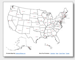
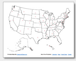
Looking for free printable United States maps? We offer several different United State maps, which are helpful for teaching, learning or reference. These .pdf files can be easily downloaded and work well with almost any printer. Our collection includes: two state outline maps (one with state names listed and one without), two state capital maps (one with capital city names listed and one with location stars),and one study map that has the state names and state capitals labeled. Print as many maps as you want and share them with students, fellow teachers, coworkers and friends.
Teachers can use the map without state names, or the map without capital names, as in-class or homeowork activities for students. Researching state and capital city names and writing them on the printed maps will help students learn the locations of the states and capitals, how their names are spelled, and associate names with capital cities. The combination of research and writing is a very effective way to help students learn. This research can be done using online or reference book maps. GeoShops, the parent company of WaterproofPaper.com has an online map of the United States on their Geology.com website that can serve as a good reference.


